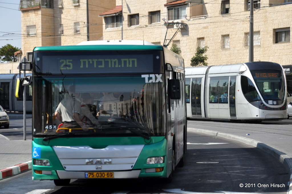
When I arrived in Jerusalem in June 2009, it had been over a decade since the last official bus map had been published for the city. Smartphones were not ubiquitous and GTFS had not been adapted to the extent it has been today. You just had to know where the buses went and navigate a less than intuitive website to get stop and schedule information. At the suggestion of my cousin and some friends, I began to plot out the city’s bus network in Google Earth, and in late August, launched the first version of the Jerusalem Bus Map. In the years since, over 5,000 people, especially many in the Anglo community, have liked its Facebook page and rely on both the Facebook page and the bus map itself to find their way around the city and keep tabs on changes (both planned service changes and unplanned diversions due to visiting dignitaries, protests, and more) to Jerusalem’s transit network.
Check out the Jerusalem Bus Map by visiting www.jerusalembusmap.com or by clicking here.
Incidentally, an official bus map was published in July of 2012 and I had a hand in creating that map, too, through my work with the Jerusalem Transportation Master Plan Team.

